
Don't Go Off-Grid Alone: The SAR-Approved Way to Share Your Trip Plan
You’ve loaded the rig. The cooler is iced. The tank is full. The map on your screen is a beautiful, intoxicating web of green and brown lines, promising freedom.
The last thing you want to do is stop, open a group chat, and check in. It feels like a buzzkill. It feels, for a second, like an ankle monitor on your soul.
But before your tires hit that first mile of dirt, before the last step off the pavement and into solitude, that 30-second "buzzkill" of sharing your plan is the single most important piece of gear you'll pack. It’s the one thing that separates a good story from a grim headline.
And don't take it from me. Take it from the pros. That said, I only recommend products I honestly love. If you buy through my links, I may earn a commission. This comes at no extra cost to you, but it helps me continue to test and review new gear.
What Search and Rescue Actually Says
I've never had to scrape a fool off a mountainside at 2 AM. But the grizzled SAR guys—the volunteers who leave their warm beds to find you—they have. And what they say isn't a "tip." It's not a "hack." It's a commandment.
"Leave a trip plan."
It's the first, last, and only thing they'll tell you. Why? Because in an emergency, time is the only currency that matters. Your plan buys them time. Without it, they're not "searching"; they're "guessing."
When a SAR team asks for a "trip plan," they mean two things:
A Destination & Route: Where did you say you were going?
A "Panic" Time: When are you "overdue" to the point that someone should actually call 911?
Your job is to make their job possible. Your "freedom" isn't an excuse for laziness.
Best Practice Isn't a Checklist, It's a Pact
"Best practice" is a sterile term. This is a pact. It's a contract with a reliable, sober-minded person back in civilization—your "Mission Control"—who agrees to act if you go dark.
This isn't your flaky friend. This is someone who will actually make the call.
Your plan shouldn't be a vague text. It needs to be a document. It needs to be clear, concise, and have no room for interpretation.
The Non-Negotiables for Your Trip Plan:
Who: Your name, your date of birth. The name of every person with you (and their emergency contacts).
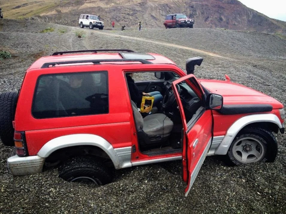
What (The Rig, Ride, or Boot Pattern): Your vehicle's make, model, color, and—this is critical—license plate. If you are setting out of a bike, what does it look like—make, model, and color. Boots—it sounds over the top but leave a pattern. A dusty sole on a white piece of paper left in your car is one of the best starting points a human tracker can have.
Where (The Route): Be obscenely specific.
Don't say: "John Muir Trail"
Do say: "Magruder Corridor, East to West. Starting from Elk City Ranger Station on 10/29. Planned campsites at [GPS Coord 1] and [GPS Coord 2]."
Share a link to your Gaia, onX, or Google My Map.
When (The Pact): This is the key.
Departure Date/Time: "Leaving the house 10/29 at 8 AM."
Return Date/Time: "Expected to be back in cell service by 10/30 at 6 PM."
The Panic Time: "If you have not heard from me by 10/31 at 9 AM, I am officially overdue. Wait one hour, try to call me, then call SAR/Local Sherriff Dept."
Your Gear: List your "lifeline." Do you have an inReach? A ZOLEO? A bright red tent? Tell them. "I have a Garmin inReach, monitoring this email: [your-garmin-email]."
Your Digital Go-Bag (And Its Limitations)
Technology is a fantastic tool. It is also a fragile, power-hungry, and often useless god in the face of a dead battery or a cracked screen. But, when used as a tool and not a savior, it's what bridges the gap. Rain drops or sweat on a touch-screen can render it useless with clammy cold fingers. Sometimes quality Suunto compass and a paper map wrapped in a Sealine waterproof mapcase is what you’ll rely on to get pointed in the right direction.
Here are the apps that actually help.
1. Planning & Mapping (The 'Before')
These are your maps. Your blueprints. You use these before you leave to build the plan you share.
Gaia GPS: The king of backcountry topography. You can build a route, drop waypoints for your planned camps, and then share a simple link to the whole thing.
onX Offroad: The best for knowing which trail is open and who owns the land. Essential for not getting shot at or locked behind a gate.
Google My Maps: The free, easy, "no excuses" option. You can trace a route on your laptop, save it, and share the link with your mom. It's not as detailed, but it's a thousand times better than nothing.
HikerAlert: This is your automated "Mission Control." It's a web-based service where you log the whole, ugly-truth trip plan—your route, your mode of transport, your "panic time." If you fail to check back in, it doesn't wait around; it automatically blasts your full itinerary to your emergency contacts. It’s the digital, reliable version of that "sober-minded person" who will actually make the call.
2. Tracking (The 'During')
This is your lifeline. This is what you pay for.
Garmin (inReach / Explore App): The gold standard for a reason. It's a two-way satellite messenger. You can send "All good, at camp" pings. You can share your location in real-time. And, most importantly, you have the big red SOS button that talks directly to the professionals.
Life360 / Google Location Sharing: These are cell-based trackers. They are USELESS the second you lose service. But they are a fantastic "last seen" breadcrumb, telling your crew the exact spot you left the grid.
2+. Communication (The 'During')
A busted rig in a dead zone is a tomb. Don't be the news fool with a $1,000 antenna and no one to talk to. Comms are your lifeline, but you have to be on the right frequency.
I was stuck at low-tide on one of New Zealand’s roughest beaches. Luckily, I connected with these rigs behind me to pull me out before my Pajero was lost to the sea.
The tribe has moved on. That old, crackly CB is a static-filled ghost, good for listening to truckers on the highway, but not for the trail.
Here’s the simple, need-to-know breakdown:
FRS (Family Radio Service): These are cheap, no-license, 2-watt walkie-talkies. They're perfect for your spotter or the kids at camp. They are not a serious convoy radio.
GMRS (General Mobile Radio Service): This is the new king. It's FM-clear and uses the same channels as FRS, but a simple $35, no-test FCC license (good for 10 years, covers your whole family) lets you use powerful, 50-watt mounted radios and repeaters for serious range. This is what 90% of overlanding groups now use. These Rocky Talkie Handhelds are my absolute favorites. These are my go-to Christmas/Birthday gifts to friends and I make sure I have 1 for each person AND rig, when traveling. Easy to use, program, and they take a beating.
HAM (Amateur Radio): This is a full-blown, test-required hobby. It’s magnificent for long-range and emergency use, but it's not the simple tool you'll use for quick convoy comms.
The bottom line: Your cheap FRS handheld can talk to the group's powerful GMRS rig, which is why it works. Just be aware: Know the local and federal laws for each device you're using. Ignorance isn't an excuse, and the FCC doesn't care about your "But I'm off-grid" defense.
It’s Not Caution. It's Professionalism.
Bottom line, the whole romance of this is freedom. It's the "off-grid" part. It's the deep, primal desire to just... disappear.
But there's a razor-thin line between "freedom" and "recklessness."
Sharing your plan doesn't tie you down. It doesn't make you soft. It makes you a professional. It's the smart, responsible, adult thing that ensures you get to keep having these adventures. And, you can even think of it as a humble-brag. Because you'll come back to tell the story.
Next time you take a Side Quest, take the 60 seconds. Tell someone where you're going.
You'll probably never need that lifeline. But if you do, it's the only thing that matters.
(This post is YOUR first step. The next is knowing what to do when the plan fails. Read our full Year-Round Overlander’s Guide to Disaster Readiness.)
Your turn: What's your system? Have you ever had to use it? Drop your favorite safety app or your "trip plan" hack in the comments below.